Filton
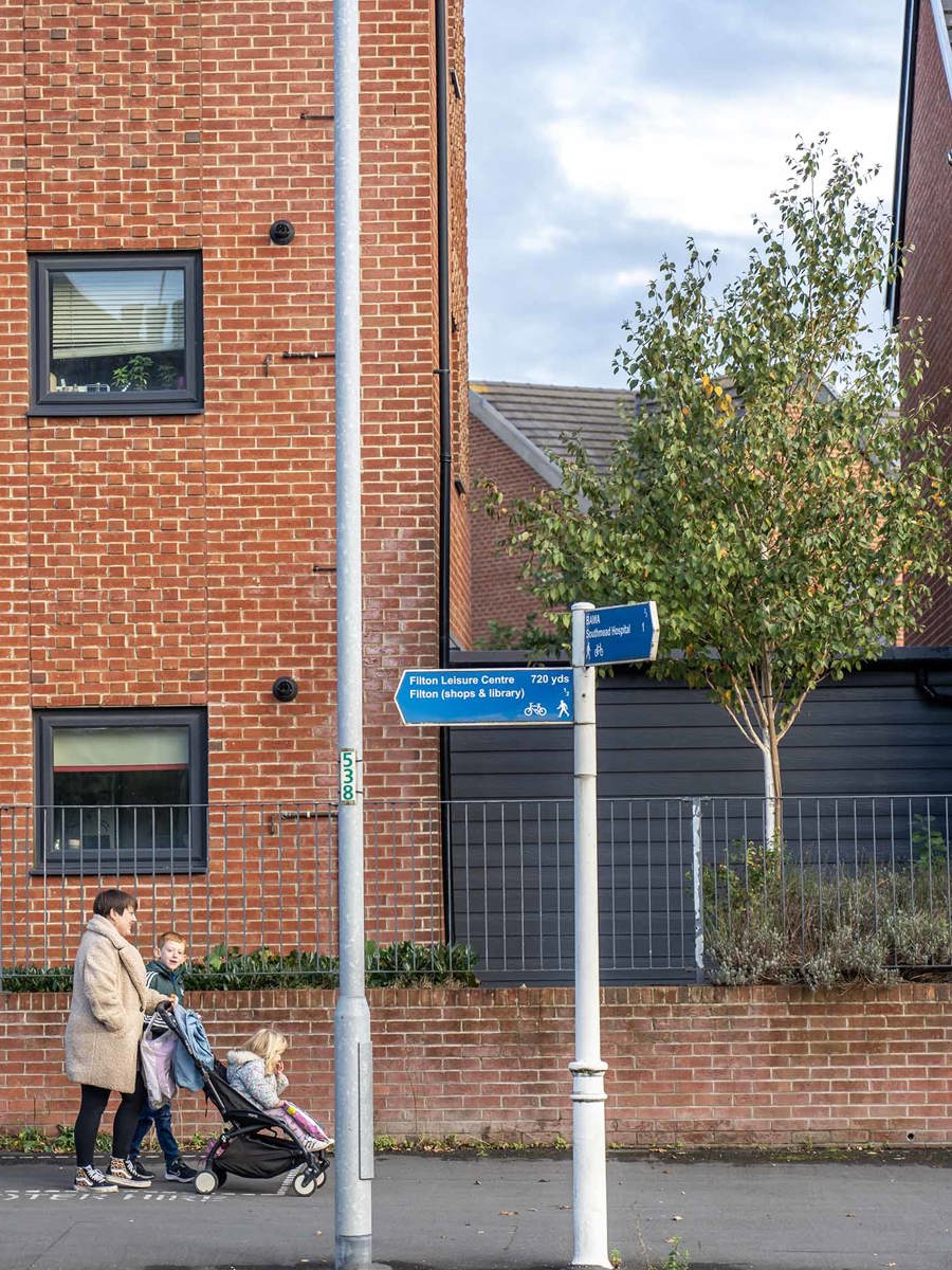
Filton is a popular area on the northern edge of Bristol, about four miles from the city centre via Gloucester Road (A38). It spans the area between the counties of Bristol and South Gloucestershire.
Key data - Filton
Green public space
Homes within 200m of public transport
Gloucester Road is the main route to the city centre and connects with the M4/M5 interchange at Almondsbury, two miles north. There's plenty of public transport and some cycle lanes.
Off Gloucester Road North

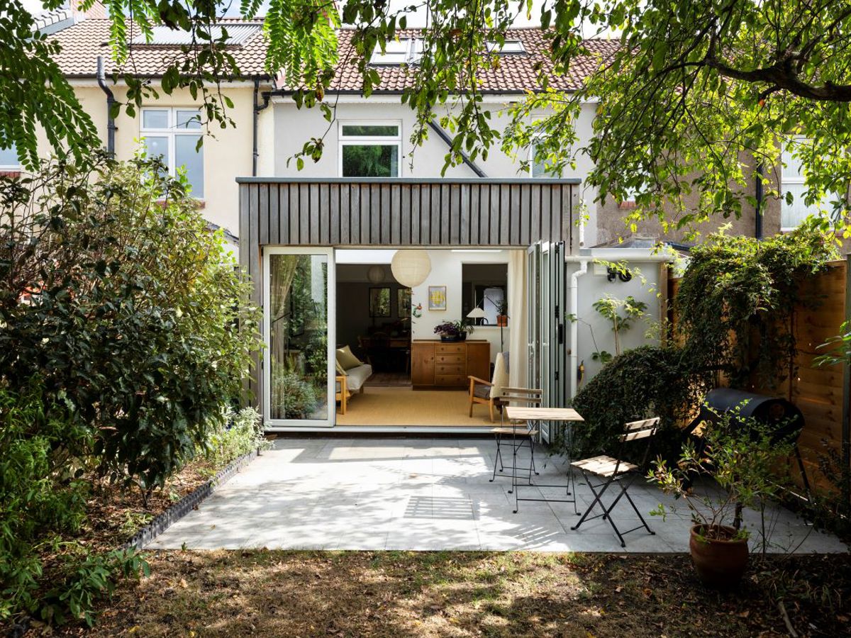
Local homes
A popular neighbourhood for families who can enjoy all that the North Gloucester Road area has to offer, and want easy access to the city. Also enjoyed by some UWE students.
Housing is mainly 1930s. In recent years local authority housing was replaced with modern homes, including townhouses and flats. Some of these are retirement homes.

Local places
It's home to aerospace companies BAE Systems, Airbus and Rolls Royce. Southmead Hospital, Royal Mail and UWE are also nearby. Filton has two main high streets – Gloucester Road North and Filton Avenue.
Green space: Elm Park, Horfield Common, BAWA Health and Leisure
Shopping: Cala’s Flowers, Perfected Hair and Beauty, Shield Retail Centre, Abbey Wood Retail Park
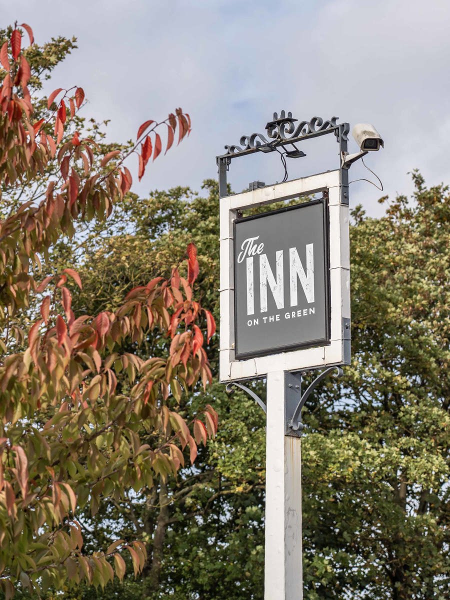
Eating and drinking: The Inn on the Green, Zanky's Deli, Bawarchi, Panahar
Schools: Charborough Road Primary School, Shield Road Primary School, Filton Hill School, Abbeywood and Orchard Secondary School, South Gloucestershire and Stroud College
Homes for sale
Homes to rent
The local area
Explore the nearby neighbourhoods.
Filton
Filton,
Bristol,
BS7 0SF

Home Valuation
Curious to know your home's sale or rental value?
We're here to help...


