Emersons Green, Lyde Green
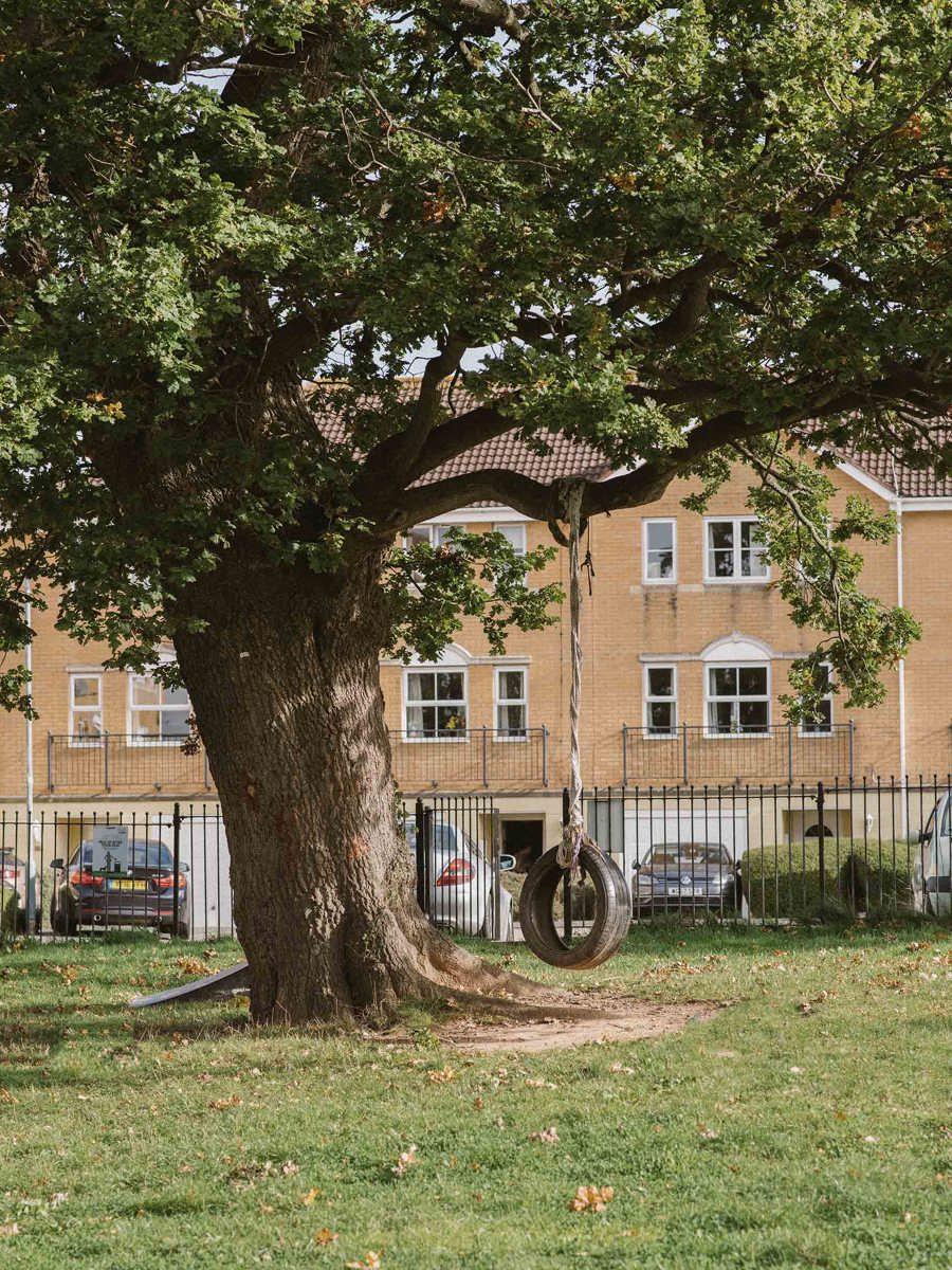
Emersons and Lyde Green are a residential areas in South Gloucestershire near north Bristol. Developed during the 1990s and more recently. Close to Downend and Mangotsfield.
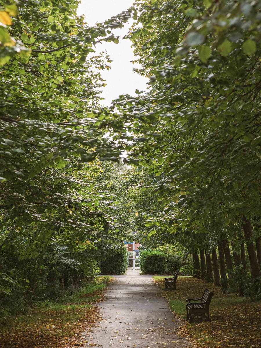
Green public space
Homes within 200m of public transport
Schools rated outstanding by Ofsted
Transport links are good. The area is well served by bus services, which run to and from the city centre via Eastville and Fishponds. The Bristol and Bath Railway Path for cyclists and pedestrians is nearby.
Bordered by the Avon Ring Road, which travels north to the M32 and south to the A4 and city centre.
A modern community

Local homes
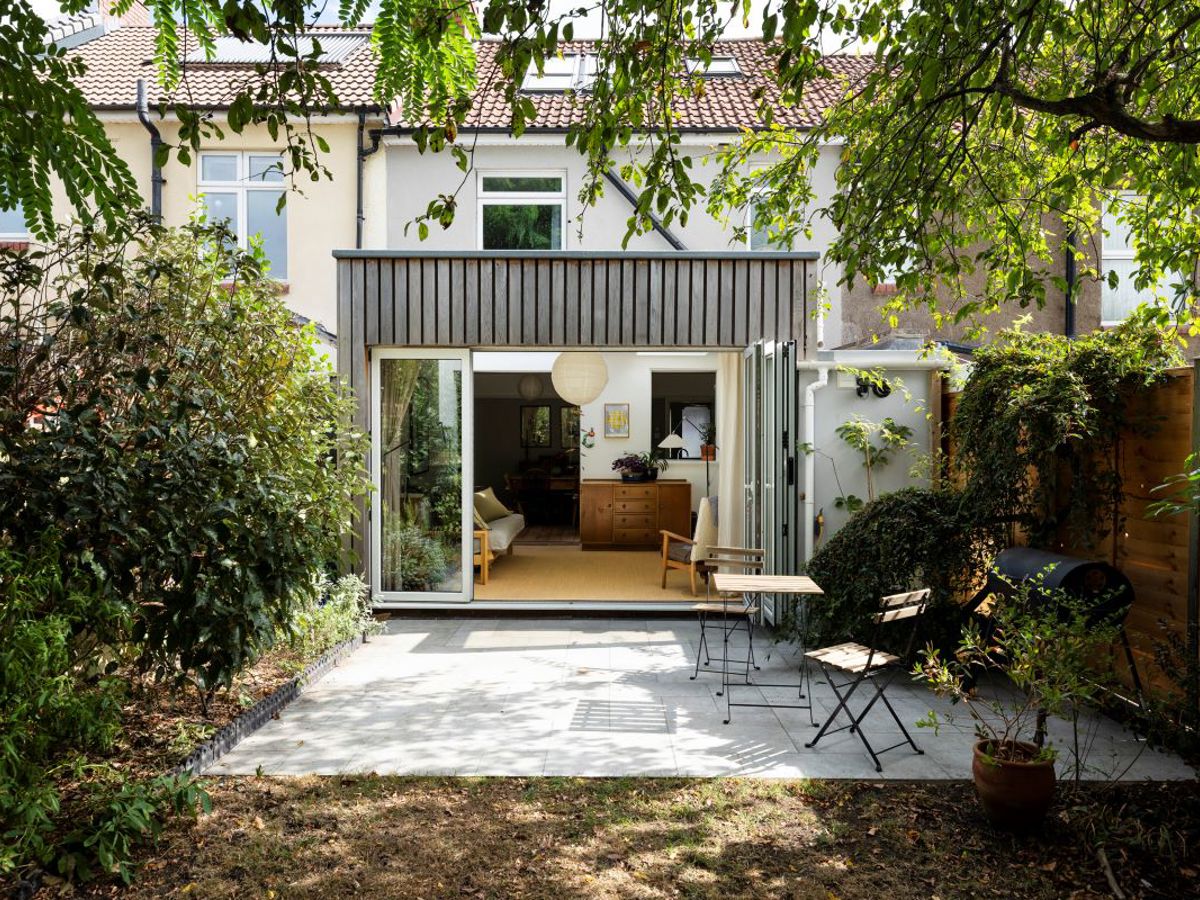
A wide choice of modern homes includes starter homes, large family houses, and low-level apartment blocks. There's community green space for sport and play.

Local places
The area has a science and technology park, SPark, in association with Bristol’s two universities. There's a library and shops including a supermarket. Nearby Longwell Green also has a large retail centre.
Green space: Emersons Green Village Park, Page Park, Westons Hill Play Area
Eating and drinking: Botteginos, The Langley Arms, The Willy Wicket, Beefeater Restaurant
Schools: Blackhorse Primary School, Emersons Green Primary School, Downend School, Mangotsfield School
The local area
Explore the nearby neighbourhoods.
Emersons and Lyde Green
Downend,
BS16 6BD

Home Valuation
Curious to know your home's sale or rental value?
We're here to help...


